
Meadowbrook Neighbors Block Sources
The block method uses several separate records. The official address layer finds a point. The Parcel Viewer supplies parcel and overlay context. READ returns an owner only after an allowed address, parcel, or geography search. Land records add recorded ownership history, while precinct information gives aggregate civic geography. Keeping those sources separate prevents an owner, a mailing recipient, a listed occupant, and a voter from being treated as the same person.
| Source | What it shows about a block | Access |
|---|---|---|
| County Address Service | Address, unit, GPIN, tax ID, and point geometry | Public REST queries; a query can return up to 2,000 points. |
| Chesterfield Parcel Viewer | Subject and nearby parcel context, subdivision, school, and political layers | County map and Open GIS Data route. |
| READ assessment | Owner shown after a situs address, parcel, or geography search | Online owner-name searching is disabled. |
| Land-record index | Recorded grantor and grantee history for a parcel | Free name index; images can require separate access. |
| Precinct maps | Election geography and aggregate precinct information | No public by-name roll by street was located. |
Current records can shift, especially the county address layer, which was created in 2008 and is updated daily. Record the day of each query. For a former block, a dated reverse street directory can supply a past household clue, but it still does not prove continuous residence or ownership. The useful answer is usually a small, dated audit trail rather than a list of supposed Meadowbrook neighbors.
Meadowbrook Block Address Points
The official County_Address_Service is the most repeatable entry point for a Meadowbrook block. Its visible fields are OBJECTID, TaxId, Gpin, Unit, Address, and point geometry. GPIN is a 10-character geographic parcel identifier. TaxId is the county tax identifier. A Unit value matters where an address has more than one unit, so one street number should not be reduced to a single household claim. The layer supports JSON, GeoJSON, and PBF query output and has a maximum record count of 2,000.
The Chesterfield GIS page links the county’s map, parcel, address, subdivision, school, and political-district materials. Its maps are orientation tools, not a legal land survey. A point may be interpolated from a tax ID or adjusted to a structure, which is helpful for finding an address but not for deciding who occupies it.
- Address point
- A mapped location tied to an address record. It identifies a place, not a resident.
- GPIN
- The 10-character geographic parcel identifier carried by the county address layer.
- Parcel polygon
- The mapped shape representing a parcel. Visual proximity on a map does not alone prove a legal boundary.
- Situs address
- The property’s physical location used for the assessment search, distinct from a mailing address.
Note: Narrow an address-layer query to a street, block, or parcel range, because a wide result can include too many points to review accurately.
Meadowbrook Neighbors and the READ Route
Chesterfield Real Estate Assessment Data gives a controlled way to examine one nearby property at a time. Search by situs address or parcel identifier, then review the owner returned in that record along with the parcel context. The county’s audit materials confirm address, parcel, and geography access, but they also confirm that online owner-name searching is disabled for safety. Exact live labels, result columns, and download options were not captured in the research, so do not assume that a current screen promises more than those verified paths.
Repeat the permitted address search only for the addresses that the map identifies as adjacent. Preserve a different mailing address as a separate field, not as proof that an owner lives there. If a parcel is vacant, a common area, a public facility, or lacks a listed unit, say that the record is a parcel result and stop there. The assessor office is the fallback for current field questions; it is at 6801 Mimms Loop, Chesterfield, and lists 804-748-1321.
Meadowbrook Neighbors in Precinct 208
Meadowbrook precinct 208 sits in Dale District. County election material reported 3,834 active and 143 inactive voters, 3,977 total, in July 2026. That is a useful scale for the local civic area, but it is not a list of Meadowbrook neighbors and should not be mapped to individual homes. A precinct is an election polygon. It can differ from the Meadowbrook CDP, a subdivision, a ZIP area, and a school boundary.
The Virginia Citizen Portal requires first name, last name, date of birth, last four SSN digits, locality, and an authorization certification for an individual’s own record or expressly authorized access. Virginia does not provide a public name-only voter portal. VERIS records are not open through VFOIA, and statutory voter-list routes have controlled eligibility and use terms. An address search should therefore use the county’s official parcel and map layers, not an attempt to reverse the voter system.
Mapping Meadowbrook Neighbors by Parcel
The immediate-block method moves outward from one subject parcel. It is a geographic workflow, not an occupant census. Start with the address point, then inspect the parcel polygon and the parcels that appear adjacent. The Parcel Viewer can add subdivision, school, political-district, and case-information context. A corner parcel can touch a different street, ZIP, precinct, or CDP side, so labels should be preserved rather than simplified.
- Locate the subject address in the Chesterfield Parcel Viewer and note its parcel context.
- Record each adjacent address, GPIN or TaxId, unit, subdivision or lot detail, and the date inspected.
- Run the allowed READ address or tax-ID search for each neighboring situs and retain the returned owner separately from any mailing address.
- For an ownership-history question, use the owner name in the land index and preserve the grantor, grantee, tax ID, document date, and book or page reference.
- Use a recorded plat or licensed surveyor for a legal boundary question, not the map’s visual edge.
The full chain for an entire named street belongs with the Meadowbrook street directory. Around one address, keep the scope tight: nearby parcel context, a permitted assessment result, and a source date.
Meadowbrook Community Leads
Community sources are much thinner than parcel sources. Official county material mentions Meadowbrook Estates Civic Association in Board of Supervisors minutes and county Veterans Day references from 2022 and 2023. It also records a Hopkins Association of Chesterfield Virginia cleanup in Meadowdale subdivision. Those are legitimate leads for community history, not evidence of a public membership roster. No authoritative current umbrella directory or public contact site for those associations was located.
| Community reference | What is supported | What remains unavailable |
|---|---|---|
| Meadowbrook Estates Civic Association | Named in county minutes and event references. | No current public site, contact directory, or membership list was located. |
| Hopkins Association of Chesterfield Virginia | County cleanup material connects it to Meadowdale subdivision activity. | The source does not create a complete roster. |
| County Community Engagement and Resources | County umbrella for engagement-focused offices and community partners. | It is not a searchable block directory. |
Chesterfield Community Engagement and Resources is the county’s official umbrella page for community connections.
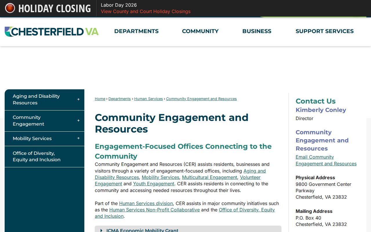
The county resource helps identify an official contact path, while the research gap prevents treating it as a list of nearby residents. Chesterfield Public Library, the Richmond Room, or the Chesterfield Historical Society may hold newsletters, clippings, or subdivision files, but the current finding aids for Meadowbrook Estates and Meadowdale still need inspection.
Meadowbrook Neighbors and Narrow Registries
Specialized county pages can look local without being block directories. The Chesterfield Animal Services page is a topic-specific county route, not a source for identifying Meadowbrook neighbors. A narrow registry, permit, or service page should be read only for the stated record purpose. It cannot fill the gap left by the absence of a public household or voter roll.
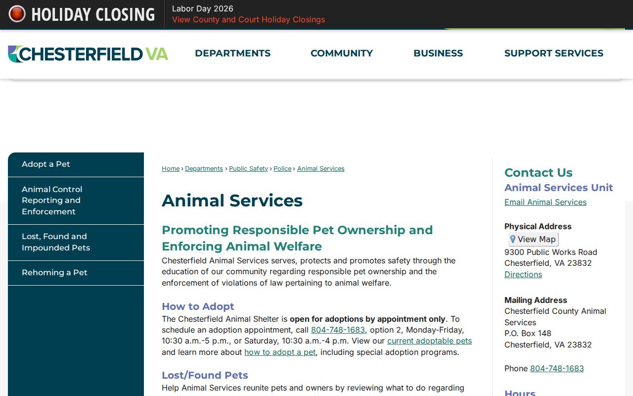
Keep a specialized result in its own category. For a block question, return to address points, parcel polygons, assessment records, and documented community sources instead of turning a limited county program into a people search.
| Official block record | Commercial neighbor tool category |
|---|---|
| Shows its custodian, search route, date, and legal access limit. | May combine sources without showing a current county record or update date. |
| Separates address, parcel, owner, voter, and historical-entry roles. | Can blur those roles into an unsupported household claim. |
| Can be verified with the listed custodian. | Cannot replace the parcel, assessor, court, or clerk source. |
Meadowbrook Neighbor Boundary Layers
Meadowbrook is a CDP, while postal addresses commonly use North Chesterfield and county records use Chesterfield County. The official county ZIP map identifies 23234 and 23237 as candidate service ZIPs for Meadowbrook addresses, but an exact address must be checked before assigning either ZIP. ZIPs, CDP boundaries, precincts, school areas, and subdivisions are different layers. The Meadowbrook-Meadowdale specific-area plan remains a potential future plan, not an adopted neighborhood boundary.
The county GIS and Parcel Viewer received modernization attention in 2025, including references to parcel, subdivision, school, political-district detail and Open GIS Data. That makes a current map useful for orientation, but a printed directory or deed has its own date. Compare the record date with the current map rather than assuming a past entry uses today’s block labels.
Note: For an exact mailing ZIP, use the address with USPS; for a parcel question, retain the GPIN and tax ID instead of relying on postal geography.
Meadowbrook Neighbors Privacy Limits
Virginia’s access rules leave important information private. The voter portal is self-access or expressly authorized access, recent vital records have public-year and eligibility rules, and juvenile, sealed, adoption, military-discharge, and DMV records are not ordinary block-search material. The Virginia Address Confidentiality Program uses a substitute address and mail-forwarding service for eligible people who have relocated after domestic violence, stalking, child abduction, sexual violence, or human trafficking. A missing or different address may be an intended protection.
Map data is not permission to infer a household, publish sensitive personal information, or seek around a restricted record. For a wrong official entry, contact the creating custodian. The Virginia Consumer Data Protection Act supplies rights against qualifying data controllers, but it does not erase a public parcel record. Verify the source date and use the minimum record needed for neighborhood curiosity, family history, an estate question, or personal safety awareness.
Lawful use. Meadowbrook neighbors research is for personal, lawful purposes. Never use addresses, maps, or records to stalk, harass, intimidate, expose a protected location, or harm another person.