
Meadowbrook Street Directory Walkthrough
An address search in Meadowbrook works best as a chain, not as a claim about every person at a location. Chesterfield County keeps the assessor, parcel-map, permit, and land-record layers under different systems. The address point identifies a location. The assessment result can identify an owner after a permitted address or parcel search. A deed can identify a recorded party and date. A historical reverse directory can show a listed household for its printed year. Those are different roles, so preserve the source and date rather than treating any one result as a current roster.
- Query the full situs address in Chesterfield GIS or the County Address Service. Keep the address, unit, tax ID, GPIN, and query date together.
- Open the matching parcel in the GIS viewer and note its subdivision, school, political-district, and parcel context.
- Search the address or parcel in READ. The returned record can display the owner, but READ does not offer an online owner-name search.
- Carry the owner and parcel identifiers to the free land-record index, then search grantor and grantee names separately for recorded transactions.
- Use dated reverse street sections only when the question concerns an earlier listed household. Compare the printed address with the parcel and deed description.
That sequence keeps an address, a parcel, an owner result, and a dated listing from being blurred into one conclusion. It also makes a Record Room request more precise when the online trail ends.
Meadowbrook Street Directory Records
Several Chesterfield sources can be reached from a Meadowbrook street address, but their coverage and meaning differ. The county address service is the repeatable street index. READ and the Parcel Viewer add property context. The Circuit Clerk's land index is organized by recorded names instead of street address, so the parcel identifier and the parties returned by READ provide the bridge. ELM permit records can add a date for filed work, while precinct data supplies only civic geography and aggregate counts.
| Address-keyed source | County keeper | What it returns | Access path |
|---|---|---|---|
| County Address Service | Chesterfield GIS | Address point, unit, TaxId, Gpin, and geometry | Public REST layer, maximum 2,000 records |
| Parcel Viewer | Chesterfield GIS | Parcel, subdivision, school, political district, and map context | County browser map |
| READ assessment | Real Estate Assessment | Situs or parcel result, assessment context, and displayed owner | Free address, parcel, or geography route |
| Land records | Circuit Court Clerk | Grantor or grantee, instrument, date, and book/page or document reference | Free index, with images or copies separately available |
| ELM permit records | Chesterfield County | Permit, address, parcel, record information, and status context | Public Accela search; fields vary by result |
None of these sources is a public street-by-street voter list or an all-occupant list. Virginia's individual voter portal is self-access only, and the county publishes Meadowbrook precinct geography and totals rather than names by address.
Note: Record the exact source and result date because map points, ownership, and permit status can change after a search.
Meadowbrook Address Points
The official County Address Service layer is the most useful local tool for work by street. It was created in 2008 and is updated daily. A query can return up to 2,000 records, so long streets and large complexes should be narrowed by block, range, or unit where possible. The point layer describes locations, not households. Keeping units separate matters because one building address can have more than one address point or unit record.
| Field | Format | Use in an address search |
|---|---|---|
| OBJECTID | ArcGIS object identifier | Identifies the feature row. |
| TaxId | String | Connects the address point to county tax context. |
| Gpin | 10-character string | Provides geographic parcel identification context. |
| Unit | Integer | Distinguishes a unit where one is recorded. |
| Address | String, up to 70 characters | Supplies the address-point text for the query. |
| Geometry | Point | Places the address in the county map layers. |
A request can return JSON, GeoJSON, or PBF. Those formats are useful for a reproducible address check, but a point still needs the Parcel Viewer and READ route before it supports a property-record question.
Note: A daily update marks current map data, while a deed or printed directory remains evidence from its own date.
Meadowbrook Parcel Search Route
Chesterfield GIS directs users to the Parcel Viewer, Open GIS Data, political-district maps, and other county layers. The viewer can show parcel, subdivision, school, and political-district context. It is an orientation tool, not a legal survey or a title determination. For a boundary question, the county Real Property Office advises that it does not provide boundary-survey services.
The READ assessment application has a deliberate privacy asymmetry. County material verifies address, parcel identifier, and geography routes, while online owner-name searching is disabled for safety reasons. After an address or parcel search, the result can display an owner. A separate mailing address does not establish that the owner is at the situs address.
See the Chesterfield GIS landing page before opening a Meadowbrook parcel search.
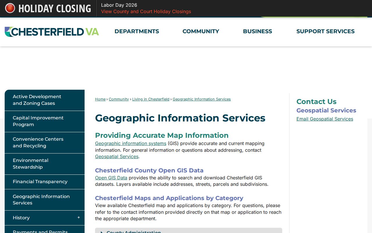
The county GIS entry point leads to the parcel and address context needed before an address result is connected to a recorded name.
Meadowbrook Deed Chain by Address
READ and GIS locate a parcel, but the Chesterfield land-record index is name-indexed rather than address-indexed. Write down the county tax ID or GPIN, then test the returned owner as both a grantor and a grantee. The clerk says online deeds run from 1967 to current and online wills from 1994 to current. Permanent land and court holdings reach back to 1749, so an older gap moves to the Record Room, Library of Virginia microfilm, or FamilySearch rather than proving that no document exists.
- Parcel
- A mapped unit of land used in county tax and geographic records.
- Situs address
- The physical-location address used to identify the property, which can differ from an owner's mailing address.
- Plat
- A recorded map that can show a subdivision, lot, block, or boundary reference.
- Criss-cross directory
- A reverse directory arranged by street and numeric address, often showing a dated listed household.
Land-record images through Secure Remote Access may require registration or payment. The Circuit Court Clerk's Record Room at 9500 Courthouse Road remains the fallback for older material and official copies. Public copies cost $.50 per page, and certification adds $2 per document.
The Circuit Clerk land-records page describes the tax-ID bridge and Record Room route used after a street search identifies the parcel.
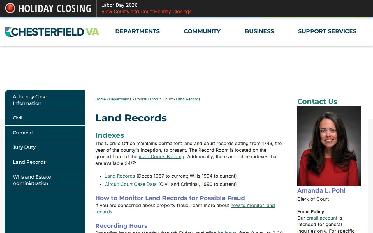
The land-record route confirms why an address search must move to a recorded party before it can reach a deed.
Note: The clerk cannot perform a title search or give legal advice, so an index trail is not a title opinion.
Chesterfield also offers a free Property Notification Service for registered names. It sends an email when a deed-book document is recorded under that name. The alert is a monitoring tool, not proof that a filing is valid. Inspect the document through the Record Room or request a copy before acting on a notice.
Meadowbrook Permit Records
Chesterfield's ELM/Accela public lookup adds a date layer to a street record. Its public categories include Address, Parcel Information, Owner, Record Information, and Licensed Professional. The address controls include street number, direction, street name, street type, unit type, and unit. The system accepts a percent sign as a wildcard in Street Name, Parcel Number, and Owner Name. Permit number, date, and status can help date construction or alteration activity, but a permit does not establish who was present at an address.
Complete dropdown values and a full live result schema were not captured in the research. Treat results as individual permit records, not a general property history. Chesterfield's searchable monthly permit series begins in February 2021; older coverage was not established.
Open the Chesterfield Accela permit search to begin with the address controls documented by the county.
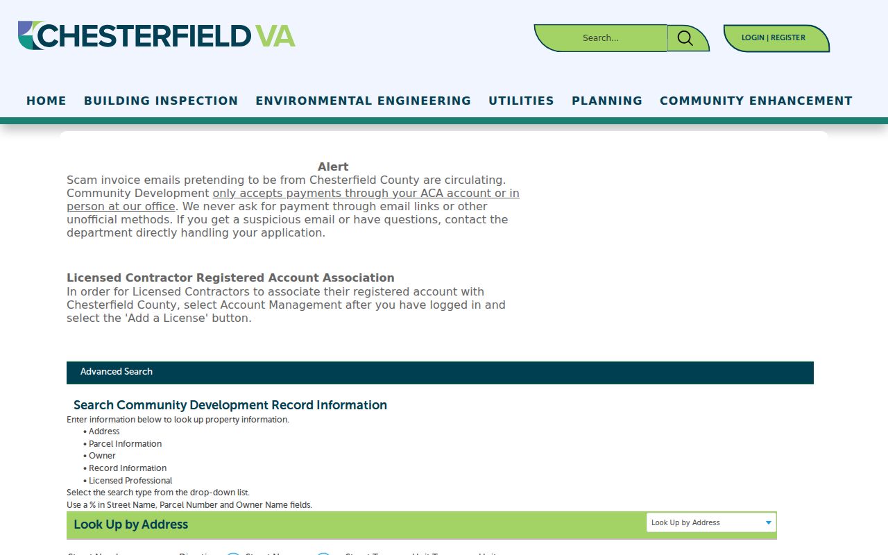
The permit search provides a dated filing layer that can sit alongside, but never replace, the parcel and deed trail.
Meadowbrook Street Boundary Layers
A Meadowbrook address may be described with three valid labels: Meadowbrook CDP for Census geography, North Chesterfield for postal addressing, and Chesterfield County for the custodian. Those labels do not trace the same outline. A street can cross a ZIP, precinct, subdivision, school-attendance area, or CDP edge. Compare the address point, parcel polygon, postal ZIP lookup, and Census geography separately instead of borrowing one boundary for another.
For postal confirmation, use the USPS exact-address lookup. The county ZIP map is useful for broad orientation but carries a land-conveyance disclaimer. County election materials place Meadowbrook precinct 208 in Dale District and publish aggregate voter totals, not a list of names by street. The individual Virginia voter portal requires authorization and is not a street-directory source.
Historic address work needs the same care. Normalize Road and Rd, Drive and Dr, directional forms, and older place labels. No official Meadowbrook-specific street-renumbering project was located. When a search fails, test Richmond, Manchester, Chesterfield, a directory title page, the deed's legal description, and the GIS street layer.
Meadowbrook Dated Address Listings
Reverse street sections are a historical address tool, not a replacement for current parcel records. The Richmond property-directory pattern documented by the Virginia Museum of History & Culture begins in 1879-80: streets are alphabetical and addresses run in numeric order. A listed name is evidence for that printed year. It can be compared with a deed owner, but it does not by itself prove ownership or continuous presence.
Meadowbrook research may need Richmond, Manchester, and Chesterfield labels because the modern CDP name is not always the label printed in older material. Chesterfield Public Library's Central local-history collection, the Richmond Room, and historical collections can supply the dated-directory layer. For the full historical shelf and how entries read, use the Meadowbrook city directories.
Note: Test the printed place name and street spelling for the year searched before concluding that an address is absent.
Meadowbrook Street Voter Geography
Precinct data answers a geographic question, not a name question. Chesterfield lists Meadowbrook precinct 208 in Dale District and publishes its active and inactive registration totals. The precinct map can help identify an election boundary around an address. It cannot identify a voter at that address, and a precinct boundary is not a Meadowbrook CDP or ZIP boundary.
Virginia's Citizen Portal requires the individual's first and last name, date of birth, last four SSN digits, locality, and a certification of self-access or express authorization. The state did not provide a public by-name voter-roll portal. A limited voter-list request follows separate statutory categories and a Statement of Responsibility; it is not a route for street-based publication or personal contact.
Meadowbrook Street Directory Limits
A street directory can locate an address point, a parcel, a recorded party, or a dated listing. It cannot turn those fragments into a complete resident list. County sources did not identify a public utility-hookup database, and the voter portal is not a public name-by-address tool. Sealed court files, vital records within their confidentiality periods, DMV information, military discharges, and Address Confidentiality Program information have separate protections.
Virginia's Address Confidentiality Program can substitute a protected mailing address for eligible participants. A missing address may be intentional. For an official record or a correction, contact the custodian named by the result and request only the record needed. That restraint also preserves the difference between a public index and a complete underlying file.